
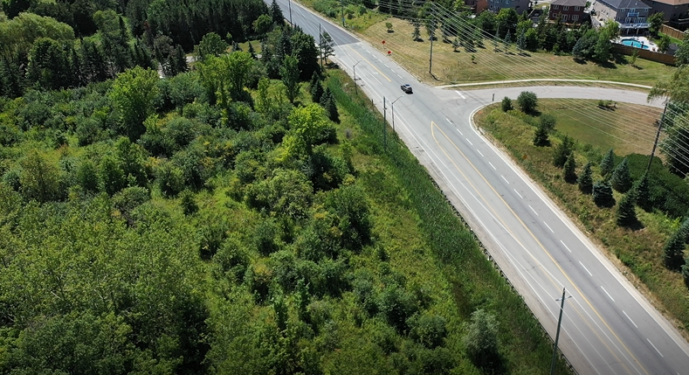
Young & Young is currently involved on a project in the Town of Caledon requiring topographic mapping of a 2 kilometer stretch of road including neighboring properties. Aerial drone technology has allowed us to map the subject area to a 0.10-meter accuracy without traffic control. The resultant product is ortho-rectified photo imagery of the area plus a digital elevation model (DEM) and contouring.
This video was produced by SkyPapi highlighting a sample of the imagery collected by the aerial drone.